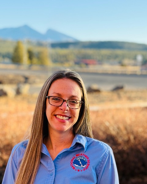
Director Coconino County Emergency Management Flagstaff, Arizona, United States
Each year, over 24,000 people embark on guided river trips in the remote wilderness of the Grand Canyon. The majority of these rafting trips occur during the North American Monsoon, which brings the risk of life-threatening flash floods. NOAA Weather Radio and cell phone coverage are generally non-existent deep within the Canyon, creating challenges for communicating emergency information. Satellite-based devices have proven to be routinely used by river raft guides for communication. In a joint effort between the National Weather Service Flagstaff, U.S. Geological Survey Grand Canyon Monitoring and Research Center, Coconino County Emergency Management, and the Grand Canyon National Park Service, a new alerting system was developed and implemented in 2024 for sending emergency alerts to satellite devices along the Colorado River. The project has taken on an all-hazards approach as it was quickly realized it was useful for relaying all types of hazards along the river (missing persons/SAR operations, boating hazards, etc.) in addition to flash flood warnings.
The alert system was implemented in 2024 and utilized for a second season in 2025, relaying critical information about the Dragon Bravo wildfire on the North Rim and subsequent flash flood warnings. This system could have wide reaching use in other remote areas across the country. This presentation will focus on the multi-agency relationships utilized throughout the process and our continued life saving work.